Aerial Data Services — The Netherlands
Professional aerial data services for construction teams across the Netherlands.
Site Mapping & Documentation
High-accuracy aerial mapping with RTK and GCPs. Outputs ready for AutoCAD, Civil 3D, and GIS in your required coordinate system.
Stockpile Volume Calculation
Accurate volumetric measurement of earthworks and stockpiles — faster and safer than manual survey, with documented methodology for quantity verification.
Construction Progress Monitoring
Regular aerial surveys giving project managers an objective, repeatable view of site progress — comparable across time and shareable with stakeholders.
Asset & Building Inspection
Roof, facade, and infrastructure inspections with high-resolution imagery and annotated reports. Reduces access costs and delivers repeatable documentation.
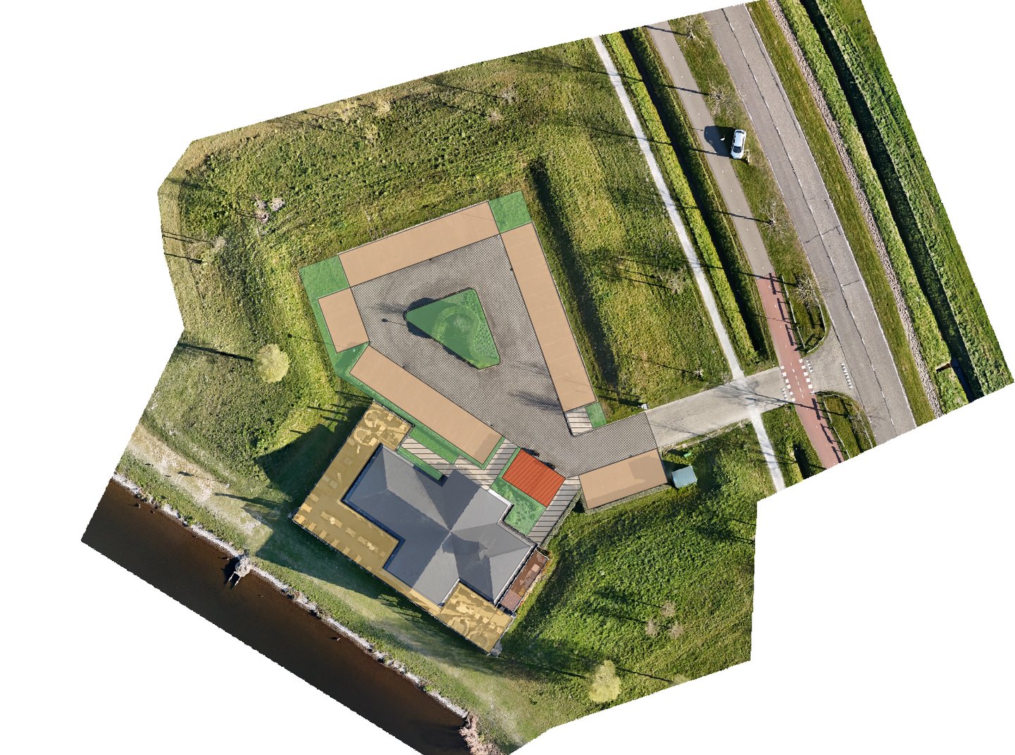
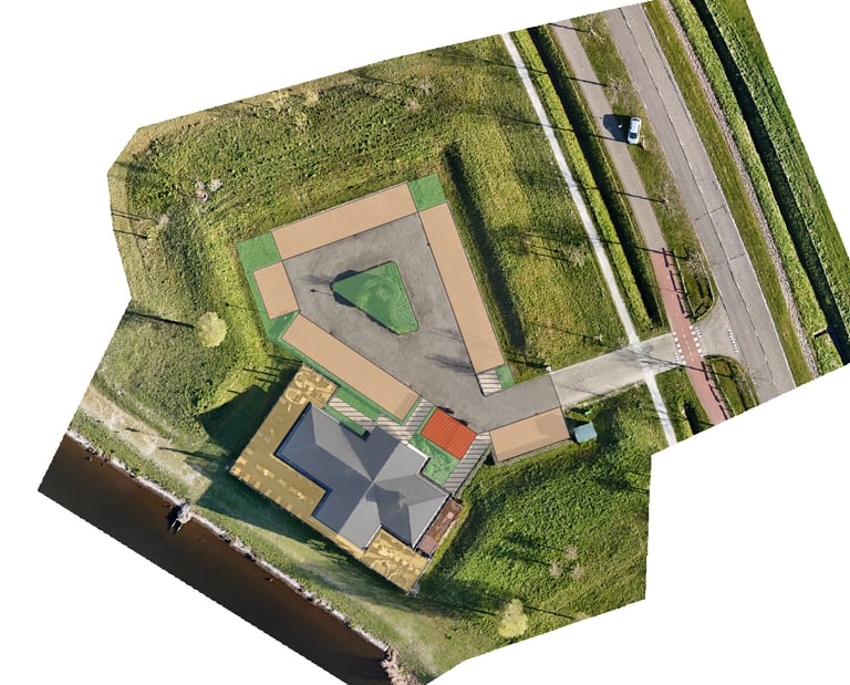
Surface mapping and data overlay — public park, Netherlands
What Makes SOLA Different
We don't stop at data delivery. Every project includes a scoping conversation before we fly, outputs in the formats your team already uses, and a walkthrough when we deliver so your data gets used from day one — not filed and forgotten.
Workflow-ready outputs — DWG, GeoPackage, IFC, GeoTIFF
Recurring monitoring packages for SME budgets
Transparent fixed pricing — confirmed before we arrive
Adoption support and onboarding included
EASA certified — A1, A2, A3, STS
Operating to Professional Standard
EASA Certified
A1, A2, A3 and STS certifications. Compliant operations across open and specific category airspace throughout the Netherlands.
RTK Accuracy
±2cm accuracy using RTK workflows and Ground Control Points across all mapping projects — consistent and repeatable.
24hr Response
We respond to every project enquiry within 24 hours to begin scoping your requirements — no automated replies, no waiting.